/02 · Territory management
Territory management software with live coverage tracking
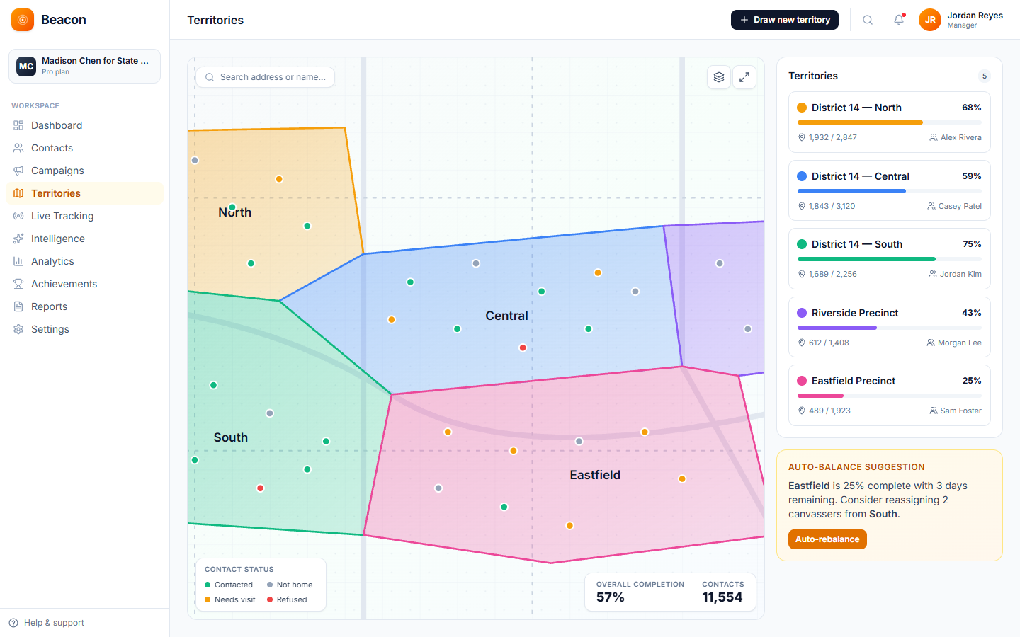
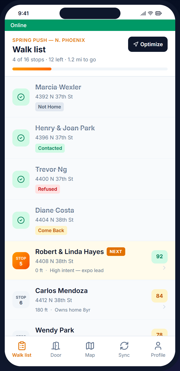
Draw a boundary around a neighborhood on the map, name it, and assign canvassers. The contacts inside the boundary become a walk list, and if you redraw a territory partway through, its walk lists update.
- Polygon drawing + GeoJSON / KML import
- Automatic detection of overlaps and gaps
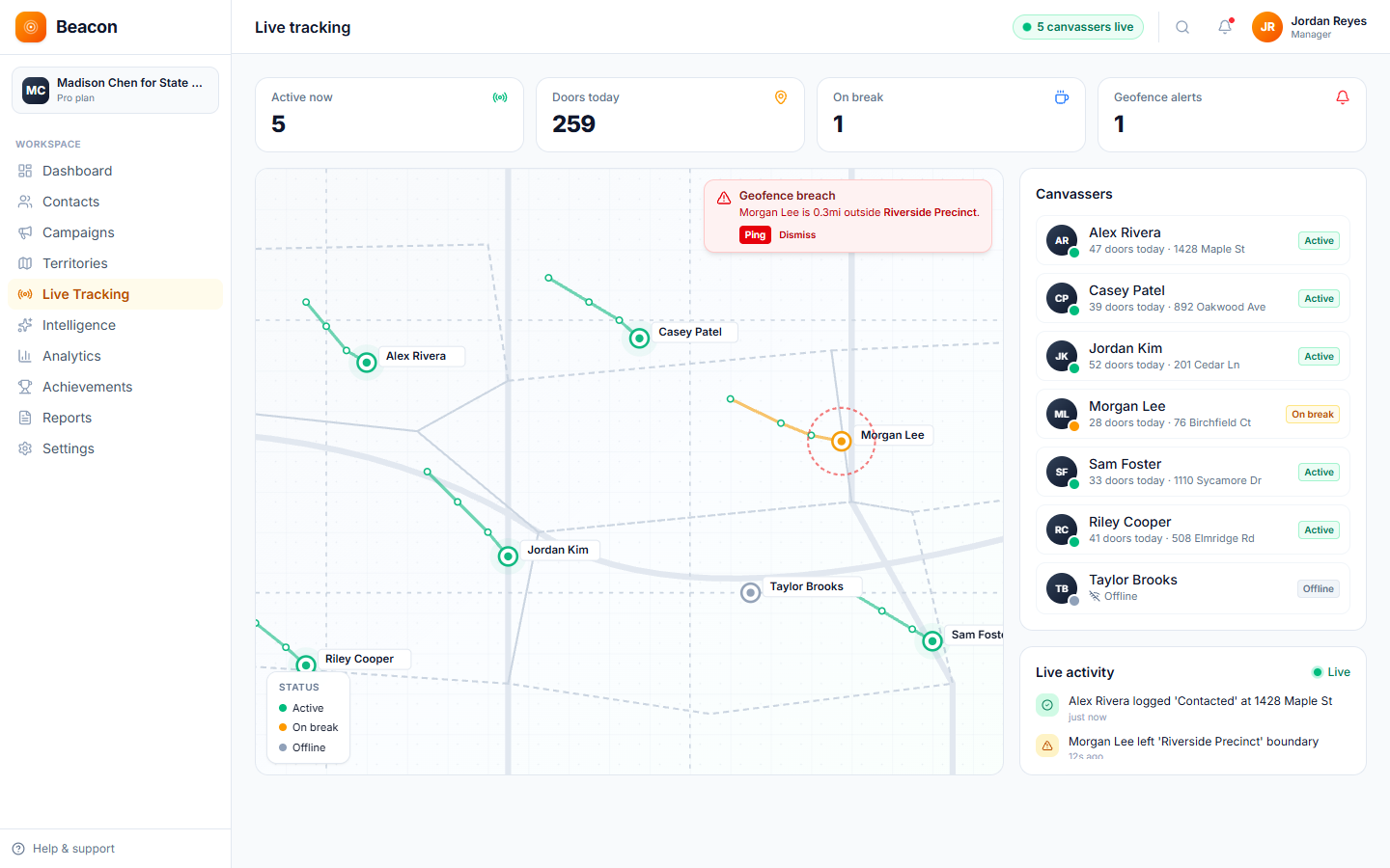
- Live coverage % per territory, updating as the team walks
- Contact count for each turf (a canvasser's assigned area), so you can see when one is too big or too small
- Contact pins colored by status on the territory map